Island comparison for choosing a route

Which island fits your trip?

The right island is not chosen by the prettiest photo alone. Arrival, local travel, trip length, coast and onward connection all matter.

TahitiRangiroaTikehauFakaravaMarquesas IslandsAustral Islands

© OpenStreetMap

10 nights

Tahiti, Moorea and Bora Bora

For combining the sister island with the lagoon of Bora Bora.

1nightArrival on Tahiti
4nightsMoorea
5nightsBora Bora, on a motu or on the main island

Two changes: the ferry to Moorea, a domestic flight to Bora Bora.

Ask about this shape
01
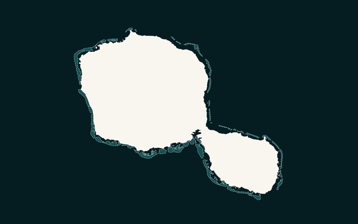
Coastline of Tahiti drawn from OpenStreetMap data

The island of arrival, the largest in the country

Tahiti

Tahiti is the island you arrive on: Tahiti-Faa’a international airport is the only international air gateway to French Polynesia. It is also the largest island in the country, volcanic, crowned by Mount Orohena (2,241 m). Papeete, the capital, its market and waterfront, the valleys for hiking and the wave of Teahupo’o are its landmarks. Many travellers spend the first and the last night here; the island also suits a longer stay, between the town, the valleys and the peninsula.

  • Tahiti-Faa’a international airport: the only international airport in French Polynesia.
  • Mount Orohena, 2,241 m: the highest peak in French Polynesia.
  • Climate: 26 °C annual mean at Faa’a; warm wet season November to April, cooler dry season May to October.
  • Papeete: 26,654 inhabitants (2022 census, municipal population).
Learn more – Tahiti
02
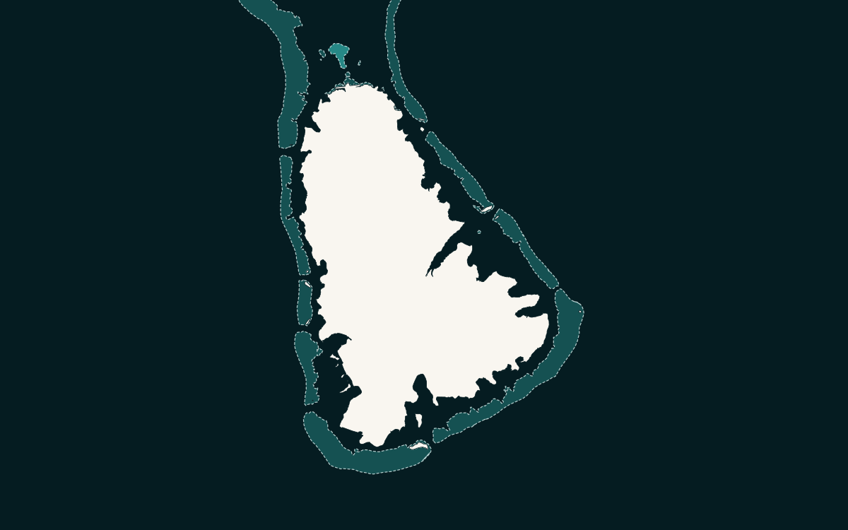
Coastline of Moorea drawn from OpenStreetMap data

The sister island, half an hour by ferry

Moorea

Moorea lies about 17 km north-west of Tahiti. Ferries link the Papeete ferry terminal with Vaiare in half an hour to three quarters of an hour, the plane takes a quarter of an hour. The volcanic island is ringed by a reef with twelve passes and shaped by its two large bays, Cook and Opunohu, which Mount Rotui separates. The Belvédère above the Opunohu valley, the pineapple plantations and the lagoon for outings on the water make it an easy base for a first contact with the islands.

  • Commune of Moorea-Maiao: 18,201 inhabitants (2022 census, municipal population).
  • Mount Rotui, 899 m, between Cook’s Bay and Opunohu Bay; a reef with twelve passes.
  • Papeete–Vaiare ferries: Aremiti, Terevau, Tauati Ferry and Vaeara’i; Temae airport.
Learn more – Moorea
03
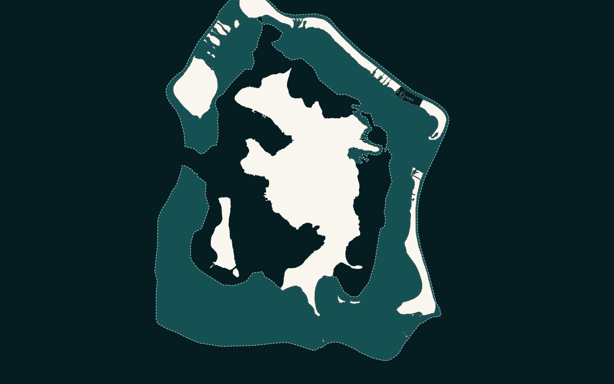
Outline of Bora Bora and its motu drawn from OpenStreetMap data

The lagoon and its ring of motu

Bora Bora

Bora Bora, a volcanic island of the Leeward group, is surrounded by a lagoon and a ring of motu that hold the airport and most of the hotels. The flight from Tahiti takes about fifty minutes; Motu Mute airport can only be reached by sea, and the boat shuttle to Vaitape is included in the air ticket. Mount Otemanu (727 m) towers over the island; Matira beach, the coral gardens, the rays and the sharks of the lagoon are the usual outings.

  • Commune of Bora-Bora: 10,758 inhabitants (2022 census, municipal population).
  • Mount Otemanu: 727 m, the island’s highest peak.
  • Airport on a motu: a quarter-hour boat transfer to Vaitape, included in the air ticket.
Learn more – Bora Bora
04
Coastlines of Huahine Nui and Huahine Iti drawn from OpenStreetMap data

Two islands joined by a bridge, forty minutes by air

Huahine

Huahine, in the Leeward group, is made of two parts, Huahine Nui and Huahine Iti, joined by a bridge; the main village is Fare. Air Tahiti serves the island from Papeete and Bora Bora in 35 to 40 minutes, and the Apetahi Express makes its first call here, about three hours after Tahiti. Tahiti Tourisme calls it “the secret island”: marae and archaeological sites, villages, a lagoon with rays and reef sharks, the sacred eels of Faie.

  • Commune of Huahine: 6,263 inhabitants (2022 census, municipal population).
  • Huahine Nui and Huahine Iti, joined by a bridge; main village: Fare.
  • Air Tahiti flight of 35 to 40 minutes from Tahiti; Apetahi Express in about three hours.
Learn more – Huahine
05
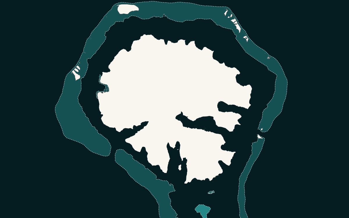
Coastlines of Raiatea and Taha’a in their shared lagoon, drawn from OpenStreetMap data

The birthplace of Polynesian culture

Raiatea

Raiatea, a volcanic island of the Leeward group, shares its lagoon with Taha’a. The marae of Taputapuātea has been a UNESCO World Heritage site since 2017, “an exceptional testimony to 1,000 years of mā’ohi civilization”. Raiatea-Uturoa airport takes Air Tahiti and Air Moana, 45 minutes from Tahiti and 20 from Bora Bora; Uturoa is also the Apetahi Express stop and the harbour of the charter yachts. Mount Temehani (1,017 m) is the refuge of the tiare apetahi, the island’s emblematic flower.

  • Three communes: Uturoa 3,663, Taputapuatea 5,007, Tumaraa 3,718 inhabitants (2022 census, municipal population).
  • Taputapuātea: UNESCO World Heritage since 2017, 2,124 ha.
  • Mount Temehani: 1,017 m. Raiatea-Uturoa airport 2.4 km from Uturoa.
Learn more – Raiatea
06
Coastline of Taha’a and its motu drawn from OpenStreetMap data

The vanilla island, in Raiatea’s lagoon

Taha’a

Taha’a lies north of Raiatea, in the same lagoon, surrounded by a string of motu. The island has no airport: you land on Raiatea and continue by boat, about half an hour; the Apetahi Express also calls here, between Raiatea and Bora Bora. Taha’a is known for its vanilla plantations open to visitors, its two rum distilleries and its pearl farms, and for a very Polynesian pace of life.

  • Commune of Tahaa: 5,296 inhabitants (2022 census, municipal population).
  • No airport: reached by boat from Raiatea, about half an hour.
  • Vanilla plantations, rum distilleries and pearl farms open to visitors.
Learn more – Taha’a
07
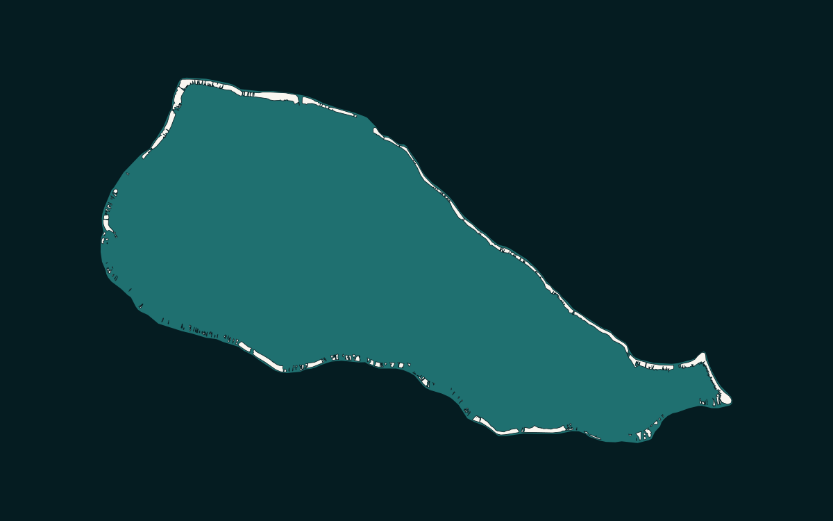
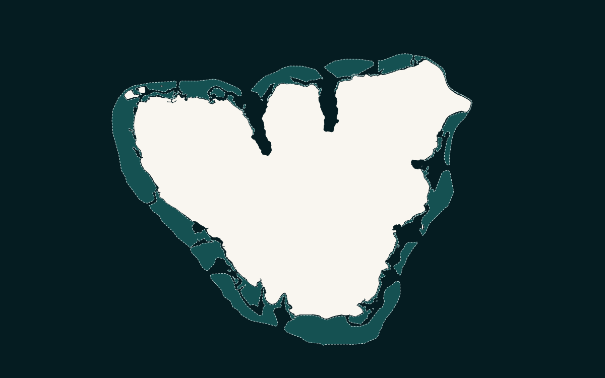
Outline of the Rangiroa atoll ring drawn from OpenStreetMap data

The largest atoll in French Polynesia

Rangiroa

Rangiroa is the largest atoll in French Polynesia and one of the largest in the world, about an hour’s flight from Tahiti. The two villages, Avatoru and Tiputa, and the airport sit on the most populated motu, between the Avatoru and Tiputa passes, known for their marine life: this is first of all a diving and snorkelling destination. The Blue Lagoon, Reef Island and the country’s only vineyard on an atoll complete the outings.

  • Commune of Rangiroa (with Tikehau, Mataiva and Makatea): 3,761 inhabitants (2022 census, municipal population).
  • Tiputa and Avatoru passes; the second largest lagoon in the world (Tahiti Tourisme).
  • Rangiroa airport 5.5 km from Avatoru, served by Air Tahiti and Air Moana; about an hour’s flight.
Learn more – Rangiroa
08
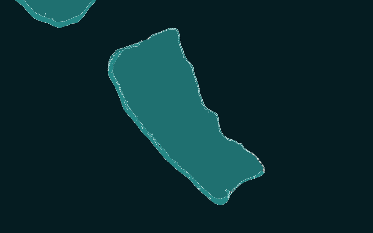
Outline of the Fakarava atoll ring drawn from OpenStreetMap data

Biosphere reserve, diving passes

Fakarava

Fakarava is the second largest lagoon in French Polynesia after Rangiroa. The commune forms a UNESCO biosphere reserve of seven atolls, almost two million hectares; the Garuae pass, 1,600 m wide, is the largest in the country, and the southern Tumakohua pass is known for its “wall of sharks”. Air Tahiti and Air Moana link Tahiti with the airport, 4 km from the main village of Rotoava, in a little over an hour.

  • Commune of Fakarava: 1,679 inhabitants (2022 census, municipal population).
  • UNESCO biosphere reserve: Aratika, Fakarava, Kauehi, Niau, Raraka, Taiaro and Toau, 1,986,735 ha.
  • Garuae pass: 1,600 m wide, the largest in French Polynesia.
Learn more – Fakarava
09
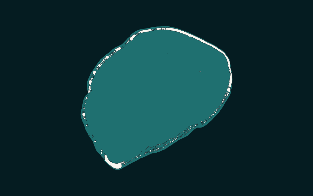
Outline of the Tikehau atoll ring drawn from OpenStreetMap data

Pink sand, a single pass

Tikehau

Tikehau is a small atoll of the Tuamotu, next to Rangiroa, of whose commune it is a part. A single pass, Tuheiava, opens the reef to the ocean; the pink sand beaches owe their colour to a microscopic organism, the foraminifera. The main village and the airport are in the south of the atoll, about an hour’s flight from Tahiti. Diving in the pass, the seabirds and the lagoon are the reasons to come.

  • Tikehau, associated commune of Rangiroa: 589 inhabitants (2022 census, municipal population).
  • Tuheiava pass: the only opening in the reef to the ocean.
  • Flight from Tahiti: about an hour; main village and airport in the south of the atoll.
Learn more – Tikehau
10
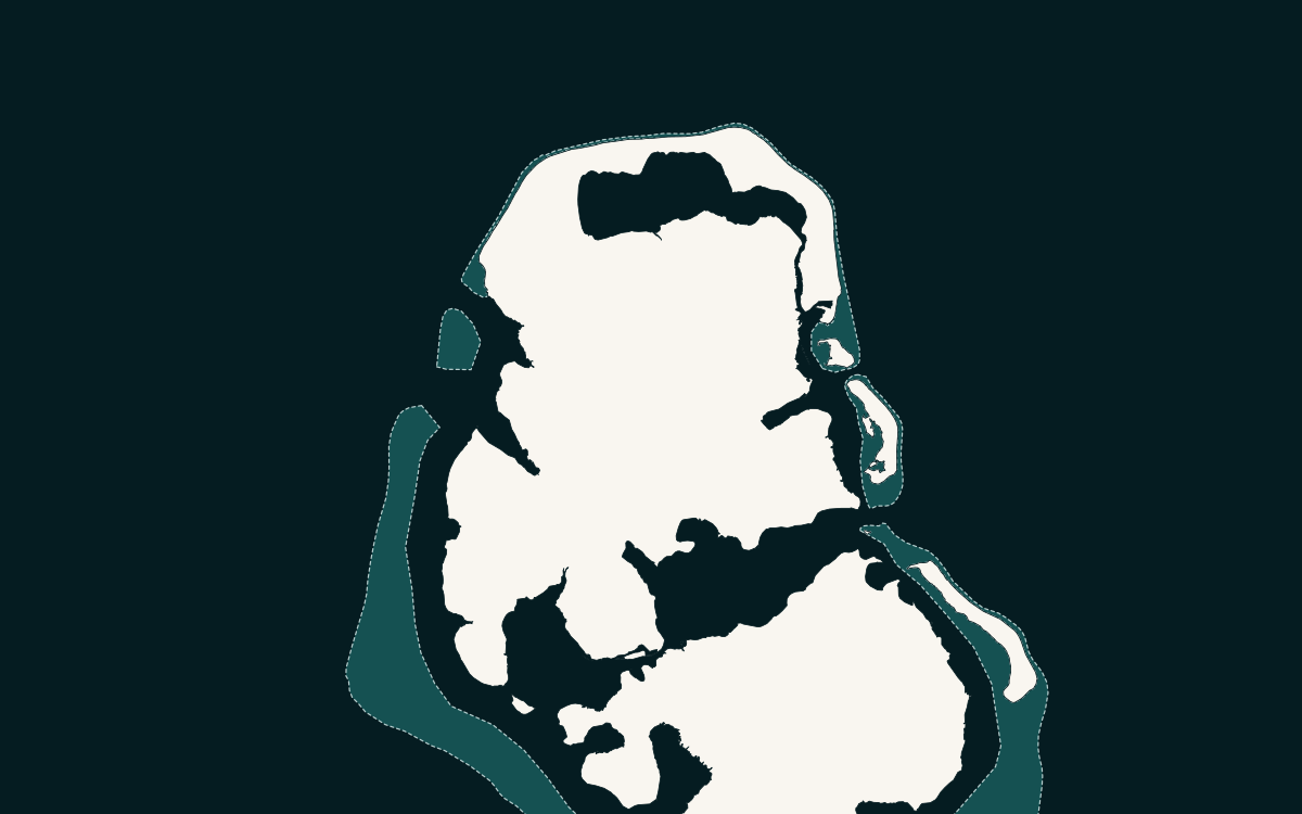
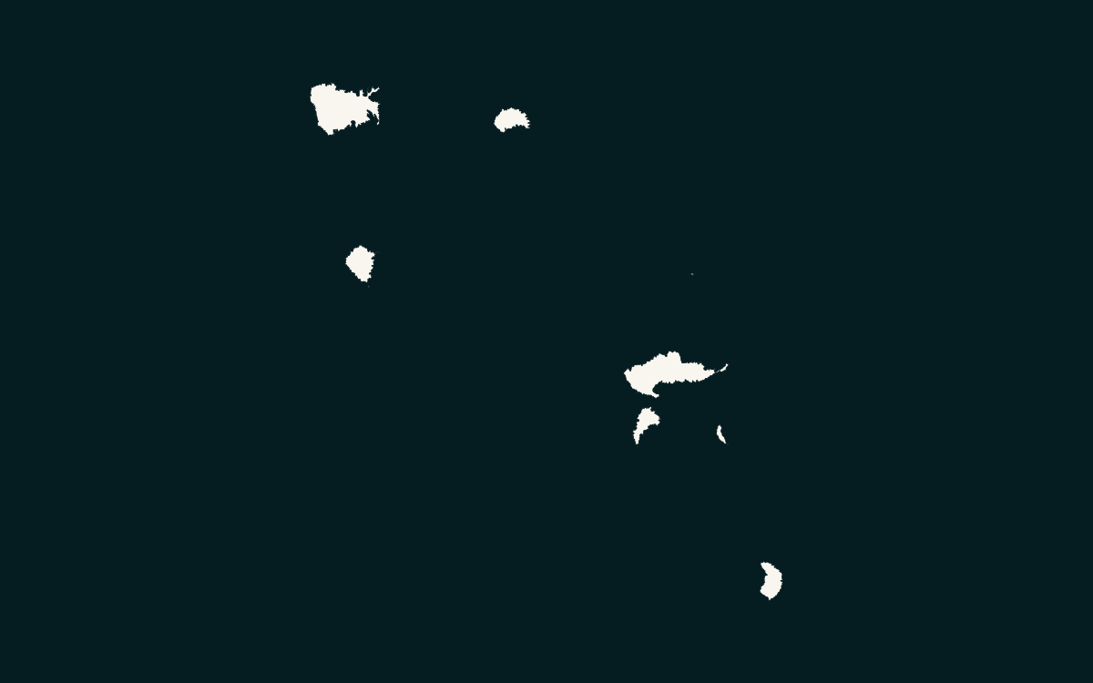
Coastlines of Nuku Hiva and Hiva Oa drawn from OpenStreetMap data

Te Henua ʻEnata, the Land of Men

Marquesas Islands

The Marquesas lie about 1,500 km north-east of Tahiti: eleven high islands and one atoll, six of them inhabited, without lagoon or barrier reef, with ridges and cliffs rising above 1,000 m. The archipelago has been a UNESCO World Heritage site since 2024. Nuku Hiva, the second largest island in the country, and Hiva Oa, where Gauguin and Brel are buried, are the two gateways, more than three hours by air from Tahiti; the mixed cargo ship Aranui 5 serves the six inhabited islands from Papeete.

  • Six communes: 9,478 inhabitants (2022 census, municipal population); Nuku-Hiva 3,025, Hiva-Oa 2,371.
  • Te Henua Enata – The Marquesas Islands: UNESCO World Heritage since 2024, 345,749 ha in seven components.
  • Flights from Tahiti of about 3 h 15 to 3 h 50; the Aranui 5 calls at Taioha’e, Hakahau, Ua Huka, Tahuata, Atuona, Omoa and Hanavave.
Learn more – Marquesas Islands
11
Coastlines of Rurutu and Tubuai drawn from OpenStreetMap data

Whales, crafts and a cooler climate

Austral Islands

The Austral Islands stretch south of Tahiti: six high islands and the Maria atoll, five of them inhabited, an hour and a half by air. Rurutu, Tubuai, Rimatara and Raivavae have an airport; Rapa, the southernmost island in the country, is served only by the mixed cargo ship Tuhaa Pae. The climate is cooler than in the Society Islands, humpback whales frequent Rurutu and Tubuai in season, and crafts, pandanus hats and baskets, as much as farming make the archipelago’s reputation. You stay in family guesthouses, not in luxury hotels.

  • Five communes: 6,592 inhabitants (2022 census, municipal population); Tubuai 2,185, Rurutu 2,163.
  • Airports on Rurutu, Tubuai, Rimatara and Raivavae; Rapa by ship only (Tuhaa Pae, about six days).
  • Mean temperatures below 25 °C, the strongest winds and swell in the country (Météo-France).
Learn more – Austral Islands

Start with your island route.

Three short steps, with no booking fee and no commitment. The agency checks your dates, occupancy and services, then sends you a quote.

Request a trip